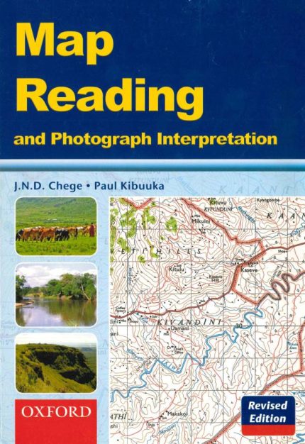
'Map Reading and Photograph Interpretation' (Revised Edition) fully meets the needs of Geography students in the areas of map reading and interpretation of photographs.
n
nThis edition contains:
n
n - 16 full-colour maps,
n - 22 photographs (6 of which are in full colour, in line with the new trend in examinations),
n - Numerous questions set in the examination style,
n - Practical activities that reinforce what is learnt,
n - Several diagrams and sketches to augment concepts as well as for classroom study,
n - In-depth exploration of various concepts presented in simple language.
n
nThe book is ideal for class reference as well as for personal study.